VILLAGE
Bracon Ash & Hethel
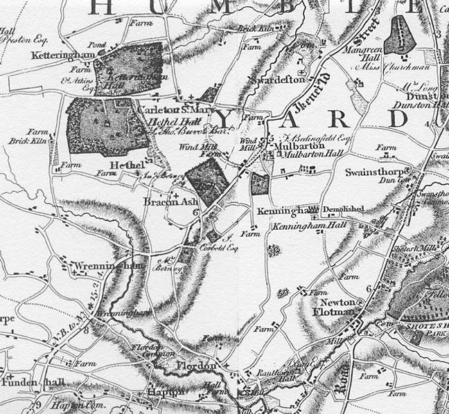
The map above is from Faden's map of Norfolk, published in 1797. It shows Bracon Ash on the main road between Mulbarton and Wreningham, and Hethel reached by lanes to the west.
Pages in this section have more about
BRACON ASH - including its Village Hall, recreational activities through the years; and a walk round part of the village devised by pupils of the local school.
and HETHEL and the Hethel Thorn
A Timeline of Local History
Norfolk Heritage Explorer is the place to find some of the interesting discoveries in Bracon Ash & Hethel parish. Click on the pictures below to find out more about the area through history....
